Guide
Renders for a Development Application: What Councils and Panels Expect
A render that goes to a council, a design review panel or a tribunal does a different job from one that goes on a hoarding. It has to show what will be built, from a place where a person could stand, in the street as it is today, and it has to be defensible if someone asks how it was made. This guide covers what councils and panels look for, how the process differs across five states, and what we need from you.
It is written for architects, planners, developers and owner-builders preparing a development application (a planning permit application in Victoria). Rules change and every council keeps its own checklist, so treat this as a briefing on method, not a statement of what your application requires. Check with the council or your planner before you commission images.

Written by Shrey Agarwal, Founder & Studio Director at Build3DRender
Published 20 October 2026
What a planning render is for, and how it differs from a marketing render
A marketing render persuades: it chooses the best light and the most flattering angle, because its audience is a buyer. A planning render informs. Its audience is an assessing officer, a panel member, a neighbour reading the exhibited plans or a member of a tribunal, and each of them is asking the same thing: what will this look like in this place?
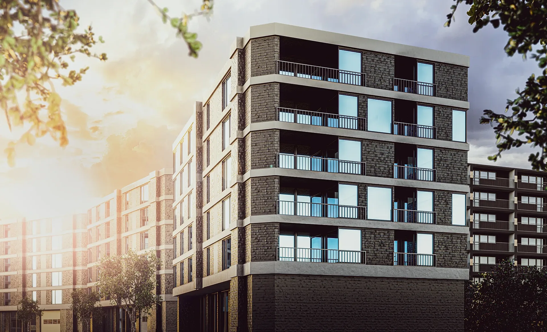
That changes almost every decision. The camera sits where people actually stand, not where a drone could hover. The sky is neutral rather than dramatic. The neighbours are built accurately, including the ones that make the proposal look large. Nothing enters the scene that the drawings do not provide. If a project needs both kinds of image, we produce them separately from one model: 3D exterior renders for the sales campaign, and a street-level view for the application.
Not every application needs a render. Many councils accept drawings alone for small works, and the checklist decides. Where a visual is required, or would help, have it ready at lodgement rather than after a request for further information.
What assessors look at in a planning render
Assessors are not judging artistry. They are testing whether the image can be trusted, and the five checks below are the same in every state. Show the existing view beside the proposed one, from the identical position, so the change is visible directly.
- Camera height and lens. The view is taken at a believable eye height with a lens that frames the scene the way a person would see it. An extreme wide angle makes a building look smaller; a long lens makes it look closer to its neighbours than it is.
- True materials. Colours and finishes come from the materials schedule, not a nicer cousin of them, shown in ordinary daylight.
- Accurate neighbours and setbacks. Adjoining buildings are modelled from survey, aerial imagery and site photographs, at the right height and distance, with their real roof forms and the windows that face your site.
- No planting maturity beyond year one. Trees and shrubs appear at the size they will be when planted, not the size they might reach in a decade. A canopy that hides the building quickly loses an assessor's trust.
- No invented context. No people, vehicles, street furniture or sky effects that change how the building reads, and no neighbours shown lower, sparser or further away than they are.
Photomontage, fully rendered view and verified view: what each one means
Three terms get used loosely. A fully rendered view is a computer-generated image in which the site, neighbours and street are all built in 3D. It is flexible, but its context is only as accurate as the survey behind it.
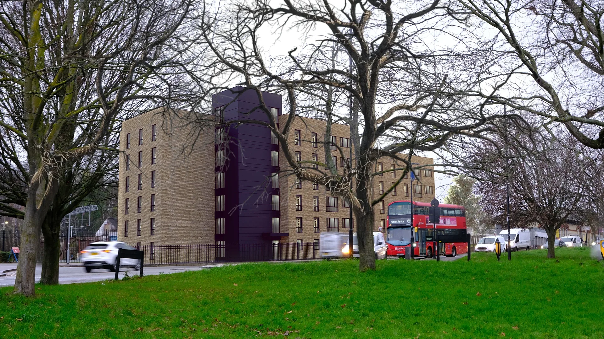
A photomontage places the 3D model of the proposal into a photograph of the real site. The street, trees and neighbours are real, which is why a photomontage carries more weight when an application is contested. It also demands survey data, so the model is positioned and scaled precisely.
Verified views are photomontages whose method is documented well enough for someone else to check. In practice that means a surveyed camera position including its level, a camera and lens on record with the model camera matched to them, and a written method statement. Where survey data is supplied, we overlay a wireframe of the surveyed elements on the photograph, so a reviewer can see the alignment holds. Photomontage and verified views are quoted per project because survey and field work differ with every site; standard images are priced on the 3D rendering cost guide.
A modest house in a suburban street may be well served by a fully rendered view. A building in a heritage precinct, on a ridge, beside a contested neighbour or heading to a panel or tribunal is where we recommend a photomontage and a documented method.
State by state: how the process differs
Every state has its own legislation, decision-makers and vocabulary. The summaries below describe the broad shape of each system as published by government, from the point of view of what the visual material has to survive. They do not replace the council's checklist or your planner's advice.
New South Wales
Development applications in NSW are submitted online through the NSW Planning Portal. Residential apartment development of three or more storeys and four or more dwellings is assessed under Chapter 4 of the Housing SEPP 2021, which absorbed the former SEPP 65 in December 2023, and the Apartment Design Guide explains how its design principles are applied.
Local planning panels determine applications on behalf of councils in set circumstances, such as high public objection or sensitive sites, and the Sydney planning panels deal with regionally significant development, generally over $30 million. Panel arrangements changed from 16 January 2026, so confirm who will determine yours.
If an appeal reaches the Land and Environment Court, its Policy: Use of Photomontages and Visualisation Tools (commenced 17 May 2024) governs visual material in expert evidence. It asks for the unaltered existing image, a plan of the camera location and target, a wireframe or massing overlay on that image, and a methodology covering the surveyor, camera, lens, camera level, terrain data and any editing. It is a Court policy, not a council rule, but it is the most detailed published statement of method we know of, and we prepare verified views to follow the method it describes. See 3D rendering in Sydney for local context.
Victoria
A planning permit in Victoria is issued by the local council and assessed against its planning scheme, and requirements vary from council to council. Councils can ask for more information after lodgement. The Victorian Civil and Administrative Tribunal (VCAT) can review permit decisions under the Planning and Environment Act 1987, and an objector who lodged an objection can apply for review of a decision to grant a permit. A render lodged with the application may later be examined by people who disagree with it.
Apartment proposals are assessed against the Better Apartment Design Standards in clauses 55 and 58 of the Victoria Planning Provisions; check the current wording with your planner. Images that show entries, communal areas and the street interface as built give an assessor something concrete to test. See 3D rendering in Melbourne for local context.
Queensland
Queensland development applications are made under the Planning Act 2016 and decided by an assessment manager, which is usually the local government. The state sets the categories of development and each council's planning scheme decides what needs assessment and what it is assessed against. In Brisbane the scheme is Brisbane City Plan 2014.
An applicant, or a submitter who made a properly made submission, who is dissatisfied with a decision can appeal to the Planning and Environment Court, a specialised court within the District Court. Some proposals are open to public comment, so your render is also the picture neighbours form their view from. See 3D rendering in Brisbane for local context.
Western Australia
Residential proposals in Western Australia are assessed against the Residential Design Codes (R-Codes) alongside the local planning scheme. Volume 1 applies in areas coded R10 to R60 and Volume 2 at R80 and above. A proposal either satisfies the deemed-to-comply provisions or shows it meets the design principles, and a clear street-level image helps demonstrate the second pathway.
Under the Development Assessment Panels regulations as at 1 July 2026, development in a DAP district with an estimated cost of $2 million or more can be determined by a Development Assessment Panel at the applicant's election, and the construction of a single house is excluded. Ask the local government how this applies to your site. See 3D rendering in Perth for local context.
South Australia
South Australia assesses every application against one statewide rulebook, the Planning and Design Code, which replaced 72 separate development plans. Applications are lodged online through PlanSA, which needs an online account.
Council Assessment Panels sit separately from the council and help decide applications that need public notice. The State Commission Assessment Panel decides applications where the State Planning Commission is the relevant authority and is the lodgement authority for land division and assesses Crown development, reporting to the Minister. Appeals go to the Environment, Resources and Development Court. See 3D rendering in Adelaide for local context.
The drawings and site photographs we need
A planning image is only as accurate as its inputs. For a fully rendered view we work from the following; the briefing guide has the general checklist for any render.
- The drawings as lodged: plans, elevations and sections, as DWG or PDF, with the revision date visible.
- A site plan with north point, levels and setbacks, and the survey of the existing site, including neighbouring building heights.
- The materials and finishes schedule, with product names and colours rather than descriptions.
- The landscape plan, with species and planted sizes.
- Photographs of the street and neighbours from the agreed viewpoints, taken in even light.
Site photography for a photomontage
For a photomontage or verified view the photograph is part of the evidence, so how it was taken matters. We need the camera model, lens and focal length on record, the camera held level on a tripod, and its position and height surveyed or tied to known points. Date, time and weather are noted, and the original file is kept with its metadata. The same rules apply to a drone's position and height.
Photographs can come from you, your surveyor, or a licensed local photographer or drone operator we arrange. Street imagery from online maps rarely carries the lens or position data needed, so we treat it as a guide, not a base image. Smaller projects such as duplexes and dual occupancies or granny flats often need only one or two street views, though the neighbours' survey still matters most. The guide for property developers shows how planning images fit a larger program.
Common reasons planning renders get challenged
Objectors and assessors rarely call a render ugly. They call it misleading.
- The camera is too high or the lens too wide, so the building looks smaller than it would from the footpath.
- Neighbours are omitted, simplified or shown lower than they are.
- Planting is shown mature, or in places the landscape plan does not provide.
- Materials or colours differ from the schedule, often because an earlier scheme was rendered.
- The image disagrees with the lodged drawings after a late design change. We check every image against the final drawings.
- Light conditions contradict the shadow diagrams.
- Nobody can say where the camera was or what lens was used.
How long a planning render takes
A standard planning view takes 5–7 business days from an approved brief and finalised drawings. Photomontage and verified views need survey and site photography first, so add that lead time before modelling starts, and ask us for a schedule when you brief the project so survey and photography dates are fixed early. The surest way to protect a lodgement date is to freeze the design before briefing, because a change after the draft is a change to the model. The turnaround guide sets out each stage.
A good architectural visualisation for a planning application is usually one or two carefully verified views, not a dozen decorative ones.
Questions
Frequently asked questions
Not always. Many councils accept drawings alone for small works, and requirements differ by council and project type. Larger, visible or contested proposals benefit most from a visual. Check the council's checklist or ask your planner, then commission images against that list.
A fully rendered view builds the site and neighbours in 3D. A photomontage places the proposed building into a real photograph of the site. The photograph adds credibility when an application is contested, but it needs survey data so the model sits at the right place and scale.
A photomontage whose method is documented so someone else can check it: a surveyed camera position and level, the camera and lens used, a wireframe overlay of surveyed existing elements on the photograph, and a written statement of how the image was made. It is quoted per project.
Yes, if the drone's position, height and camera settings are recorded and tied to survey points. Without that, an aerial view can illustrate the proposal but cannot be verified. Tell us before the flight and we will say what needs to be captured.
We cannot promise how any image will be received. The Court publishes a policy on photomontages and visualisation tools, and we prepare verified views to the method it describes. Whether an image is relied on in evidence is a matter for your expert and your lawyer.
Yes. The planning view and the marketing images come from one model, with different cameras, light and styling. The planning image stays neutral and accurate while the marketing images can use better light. Keeping them separate protects the credibility of the application.
As accurate as the survey allows. Heights, setbacks, roof forms and the windows facing your site all matter because they decide how large the proposal looks beside them. We tell you where a dimension has been estimated.
The lodged or near-final drawings, a site plan with levels and a north point, the materials schedule, the landscape plan and photographs of the street. For a photomontage, we also agree the viewpoints. The briefing guide has the full checklist, and we confirm what is missing before quoting.
A standard view takes 5–7 business days from approved brief and drawings. Photomontage and verified views add survey and photography time before modelling starts. We confirm the schedule when we quote, and the turnaround guide explains what moves it.
Changes to colours, materials, planting and camera are made as revisions, with up to 4 rounds included. A change to the design itself, such as moving a window or altering a setback, changes the model and is quoted separately. Send the revised drawings so the images match what is lodged.
Services
Commission a render
3D Exterior Rendering
3D exterior rendering and facade visuals for Australian developers, builders and architects.
from A$445 per image
3D Interior Rendering
3D interior rendering for Australian architects, designers and developers.
from A$345 per image
3D Architectural Animation
3D architectural animation, walkthroughs and flythroughs for Australian developers and architects.
from A$65 per second (min. 30s)
3D Floor Plans
Furnished 3D floor plans, colour 2D plans and site plans for Australian property marketing.
from A$445 per plan
3D House Rendering
3D house rendering for Australian builders, display villages and custom-home architects.
from A$445 per image
Townhouse & Duplex Rendering
Townhouse and duplex 3D rendering: streetscapes, dwelling types and interiors for launches and planning, from A$445 per image.
from A$445 per image
Apartment Rendering
3D apartment rendering for Australian developers, marketers and architects, from your drawings.
from A$445 per image
Granny Flat Rendering
Granny flat and secondary dwelling 3D renders for Australian builders: the real backyard, compact interiors and site plans, from A$445.
from A$445 per image
3D Product Rendering
3D product rendering for Australian furniture, joinery and building-product brands.
from A$345 per image
Commercial 3D Rendering
Commercial 3D rendering for retail, office, hospitality and industrial projects across Australia.
from A$445 per image
More guides
Keep reading
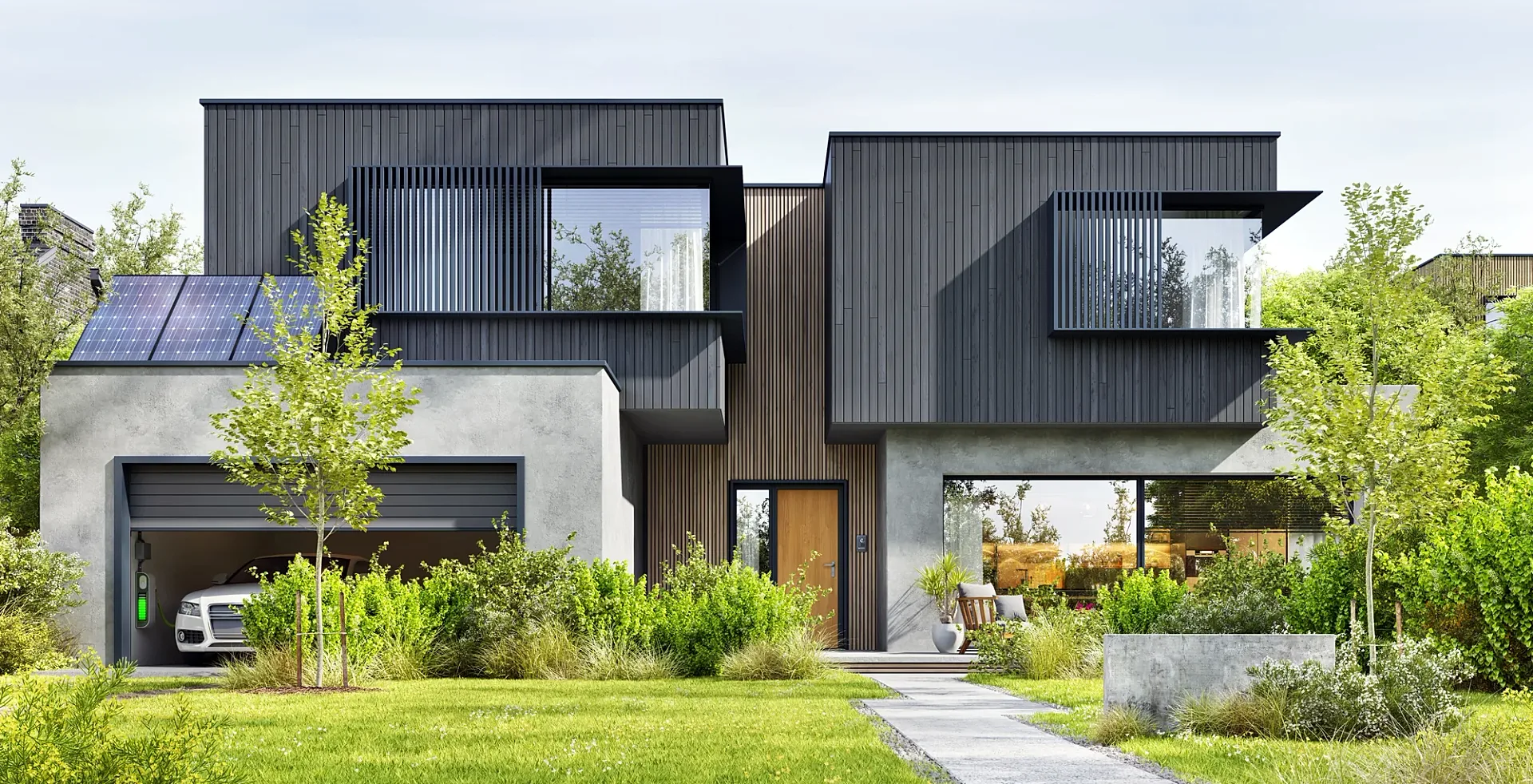
3D Rendering From House Plans: Turning Your Drawings Into Photoreal Images
Turn house plans into a photoreal 3D render: which drawings to send, how the view and finishes are chosen, prices from A$445 ex GST, 5–7 business days.
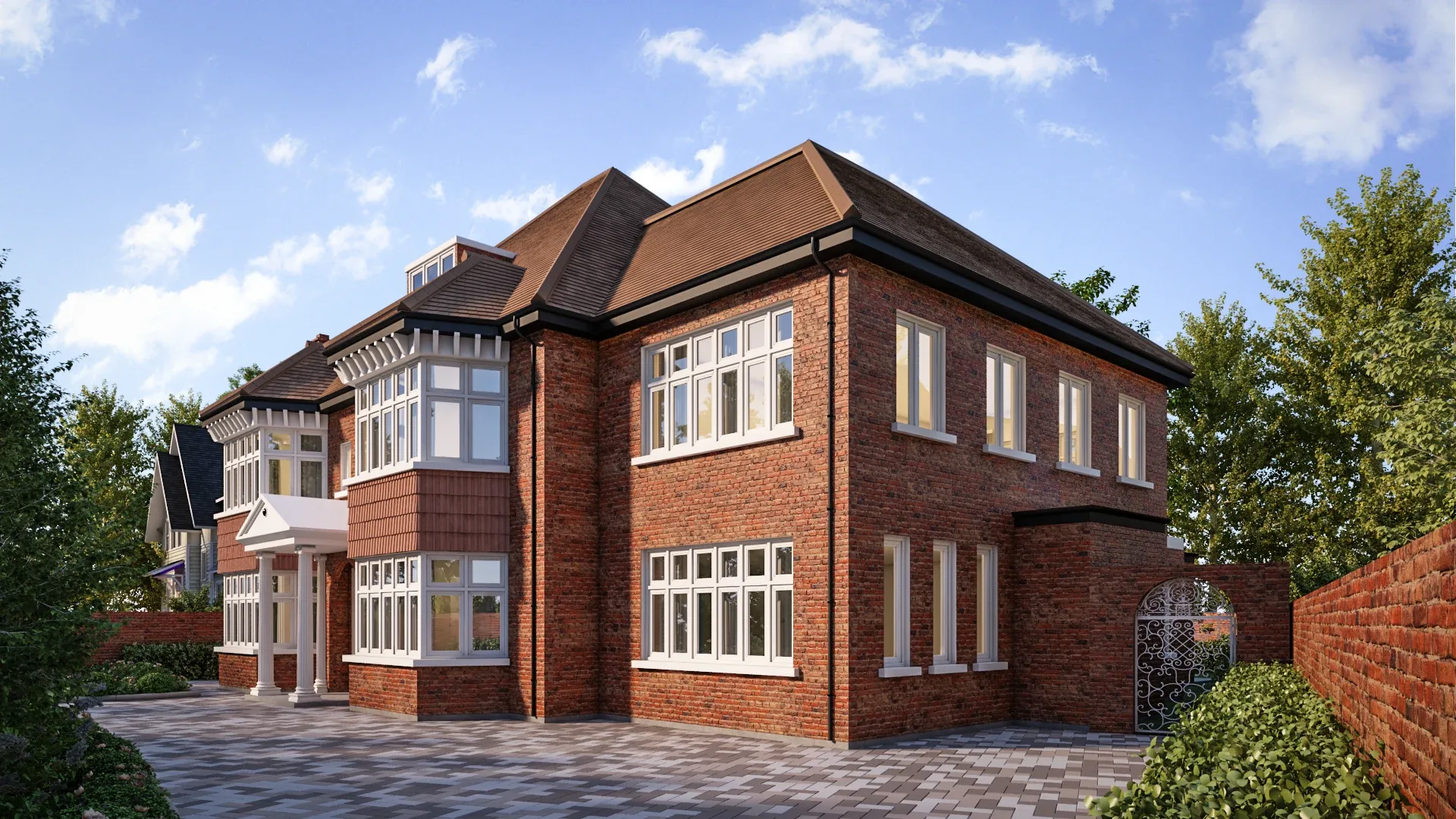
What Is 3D Rendering?
What 3D rendering is, how it differs from photography, when to use it, how it is made and when it is worth commissioning — by a working rendering studio.
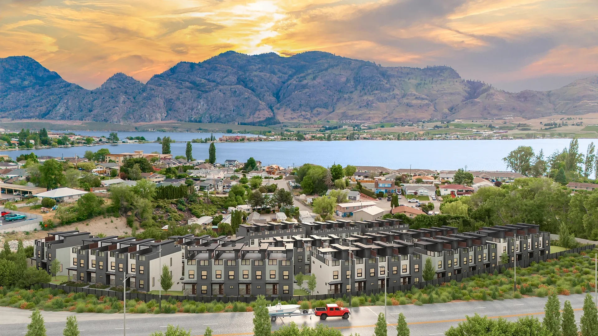
3D Rendering for Real Estate and Property Developers
How Australian developers and agents use 3D renders for off-the-plan marketing: which images to commission, when, what they cost and what moves stock.
How to Brief a 3D Render
What to send a rendering studio — drawings, finishes, references, deadlines — plus a briefing checklist that gets a better render with fewer revisions.
How Long Does 3D Rendering Take?
Realistic 3D rendering turnaround times in Australia for stills, floor plans, aerials and animation, stage by stage, plus what makes a render run late.
Get a fixed AUD quote within one business day
Send us your plans, elevations or even a sketch. Exterior renders from A$445, interiors from A$345, delivered in 5–7 business days.